
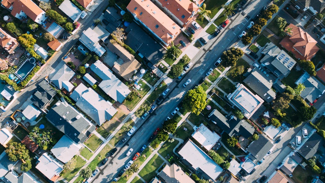
Housing & Growth for Lismore's Future
CLOSED: This consultation has concluded at 5pm, Monday 31 October. If you would like to be kept informed of important dates please email Jamie.vaniersel@lismore.nsw.gov.au and request to be added to the mailing list for the Housing and Growth consultation. You will be emailed only in relation to the two draft Strategies in question. Alternatively, please check back here to the ‘key dates’ listed on the righthand side of this page.
In May, 2022, Lismore City Council released a discussion paper that presented a range of recommendations for growth and post-flood recovery. A total of 327 submissions were received after extensive online and face-to-face engagement activities were undertaken. These submissions can be viewed on Starting The Discussion: Building Back Better: https://yoursay.lismore.nsw.gov.au/growth-management-strategy
Council has incorporated this feedback and produced a Draft Growth and Realignment Strategy that sets out potential growth areas for residential, commercial and industrial land, as well as recommending a long term planned retreat from the most high-risk flood affected areas.
In 2021 Council declared an “emergency situation with respect to the lack of housing availability and affordability”; a situation that has been made significantly worse by the loss of houses as a result of the floods. A Draft Affordable and Diverse Housing Strategy has now been prepared that identifies key housing data for Lismore and suggests measures Council can undertake to stimulate additional affordable and medium density housing projects.
These two strategies will guide both the location and type of housing that Lismore Council would like to see in the coming decades and will also ensure suitable flood-free employment land is available to support economic growth.
Growth and Realignment Strategy
The strategy identifies:
- Land suitable for future residential development close to the existing urban area (Section 2.2)
- Areas suitable for increasing density (Section 2.3)
- Area for precinct redevelopment (Section 2.4)
- Infill and fringe sites suitable for residential development (Section 2.5)
- Expansions to existing villages through large lot residential or eco-village development (Section 2.6)
- Land for retail, commercial and industrial development (Section 4)
The Affordable and Diverse Housing Strategy
The strategy looks at the current housing situation and the types of residential development needed for Lismore’s future.
- Section 3 provides an overview of the key housing issues for Lismore.
- Sections 4 & 5 outlines the mechanisms available to Councils to influence housing and the range of actions Lismore City Council will undertake.
The Growth and Realignment Strategy has now been adopted. The Affordable and Diverse Housing Strategy will be reported to the March 2023 Council meeting seeking a resolution to be adopted.
Final Strategies
Draft Strategies
Consultation Documents
-
 Growth and Housing Community Presentation (2.67 MB) (pdf)
-
Q&A Draft Growth and Realignment Strategy (157 KB) (pdf)
-
Email Submissions - Draft Growth Management Strategy (25.8 MB) (pdf)
-
Survey Submissions - draft Growth and Realignment Strategy (378 KB) (pdf)
-
Feedback summary - Growth and Realignment Strategy Councillor Briefing Presentation (5.83 MB) (pptx)
Thank you for your contribution!
Help us reach out to more people in the community
Share this with family and friends