Dramatic NASA photos reveal Lake Mead water levels at lowest point since 1937
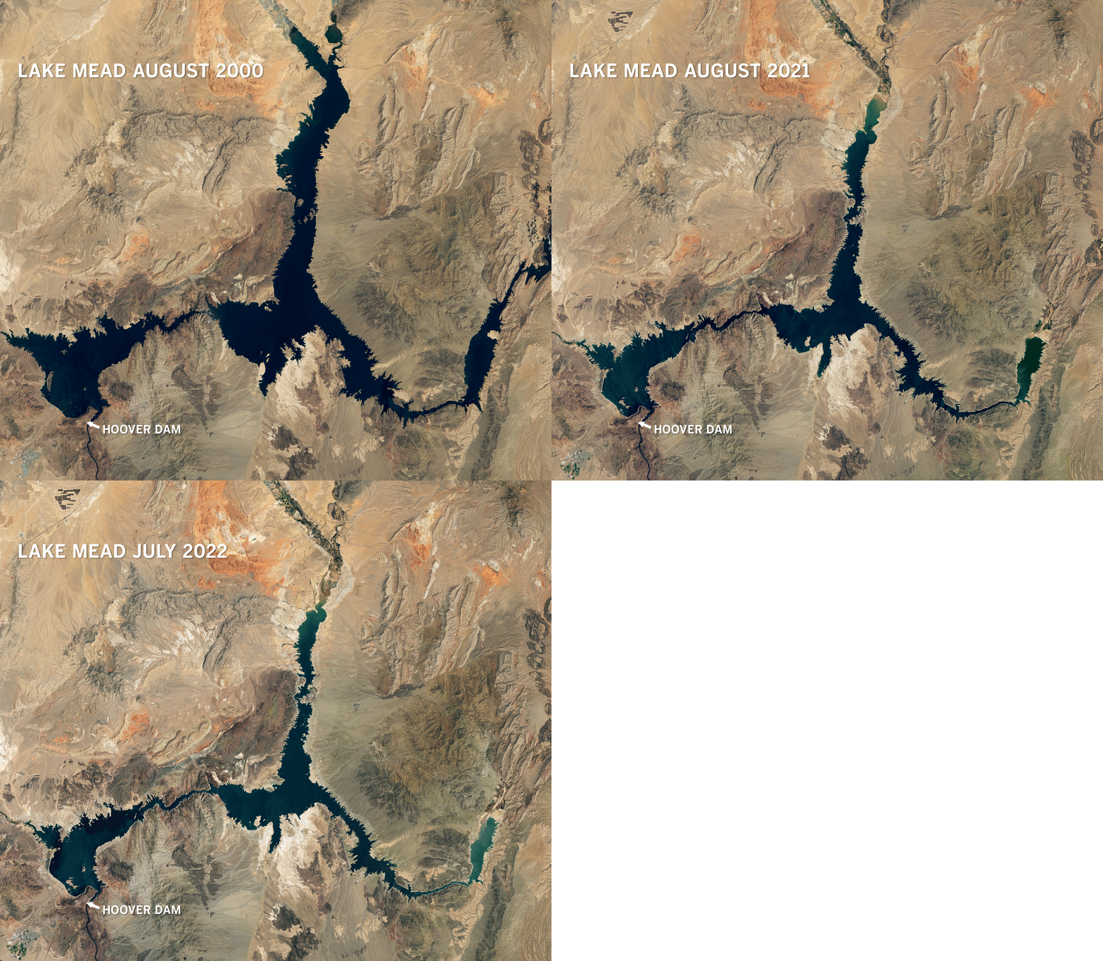
Recent satellite images from NASA show the dramatic water loss that has occurred over the last 22 years at drought-stricken Lake Mead, the nation’s largest reservoir and a lifeline for California, neighboring states and Mexico.
The images show how a deep blue strand of water snaking through the Nevada desert in August 2000 has drastically receded and narrowed amid the parched landscape by July of this year. Lake Mead and much of the Colorado River Basin are in the midst of a 22-year drought.
For the record:
3:27 p.m. July 22, 2022The original version of this story incorrectly stated that Water levels at Lake Mead dropped from 1,204 feet in June 2020 to 1,043 feet in June 2022, according to federal data. Water levels dropped from 1,204 feet in June 2000 to 1,043 feet in June 2022.
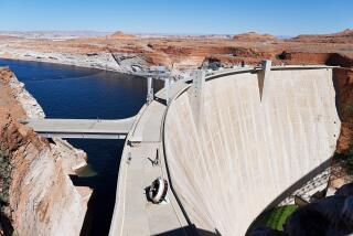
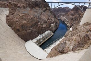
Water levels at Lake Mead — formed by the Hoover Dam — are at their lowest levels since 1937, when the reservoir was being filled. As of July 18, the lake was at 27% capacity, according to the U.S. Bureau of Reclamation.
The drought has brought a reduced snowpack, massive dust storms, persistent wildfires and vegetation that requires more water. Climate change and accelerated carbon emissions have exacerbated the drought’s effects, which makes it more difficult for reservoirs to recharge, according to Michael Cohen of the Pacific Institute.
The latest maps and charts on the California drought, including water usage, conservation and reservoir levels.
The way people live in the West is being threatened, he said.
“Our way of life is already impacted,” Cohen said. “You can certainly argue that people’s lives are changing right now, because of climate change. And a lot of climate change just gets manifested in water, which means hotter, drier, less water available.”
Severe water restrictions are in place across the Western states as reservoirs and other sources of water dwindle. Bureau of Reclamation Commissioner Camille Calimlim Touton said during a Senate hearing in Washington last month that larger reductions in water usage are needed to maintain reservoirs such as Lake Mead and Lake Powell.
“A warmer, drier West is what we are seeing today,” Touton told the Senate Energy and Natural Resources Committee. “And the challenges we are seeing today are unlike anything we have seen in our history.”
Cohen said agencies that regulate water use and irrigation are grappling with the effects of climate change. He says those agencies need to reach out to state and federal lawmakers to push for more action on carbon emissions and climate change, because reservoirs will not be able to recharge.
“Because without that, we’re not going to catch up. What people associate with life in the West, it’s just gonna go away,” Cohen said.
As Lake Mead shrinks after almost two decades of severe drought, accumulated items on the lakebed are being exposed.
Lake Mead serves about 25 million people. Roughly 74% of nine Western states are experiencing some form of drought, with 35% seeing “extreme drought,” according to the U.S. Drought Monitor.
Over the last several months, the lake’s receding shoreline has revealed sunken boats and human remains, including a probable homicide victim.
Water levels at Lake Mead dropped from 1,204 feet in June 2000 to 1,043 feet in June 2022, according to federal data. The last time the reservoir approached full capacity was in the summer of 1983 and 1999, nearing 1,220 feet.
Projections from the Bureau of Reclamation show that next summer could see a 20-foot reduction in water at Lake Mead.
A white band of dried rock surrounds the lake like a bathtub ring and tells a story of where the water levels once reached. The exposed lake bed reveals a sweeping pattern of cracked mud baking in the sun, mineralized areas of the shore that were once underwater, now littered with dead fish.
The latest satellite images confirm the alarms climate scientists have sounded about climate change and overuse of the Colorado River, which feeds into Lake Mead. The situation may present one of the worst droughts in the West in the last 1,200 years, according to climate data.
More to Read
Start your day right
Sign up for Essential California for news, features and recommendations from the L.A. Times and beyond in your inbox six days a week.
You may occasionally receive promotional content from the Los Angeles Times.
